1. Models
Once properly formatted and converted to flat coordinates, the data are projected into the design software and an initial model is built up.
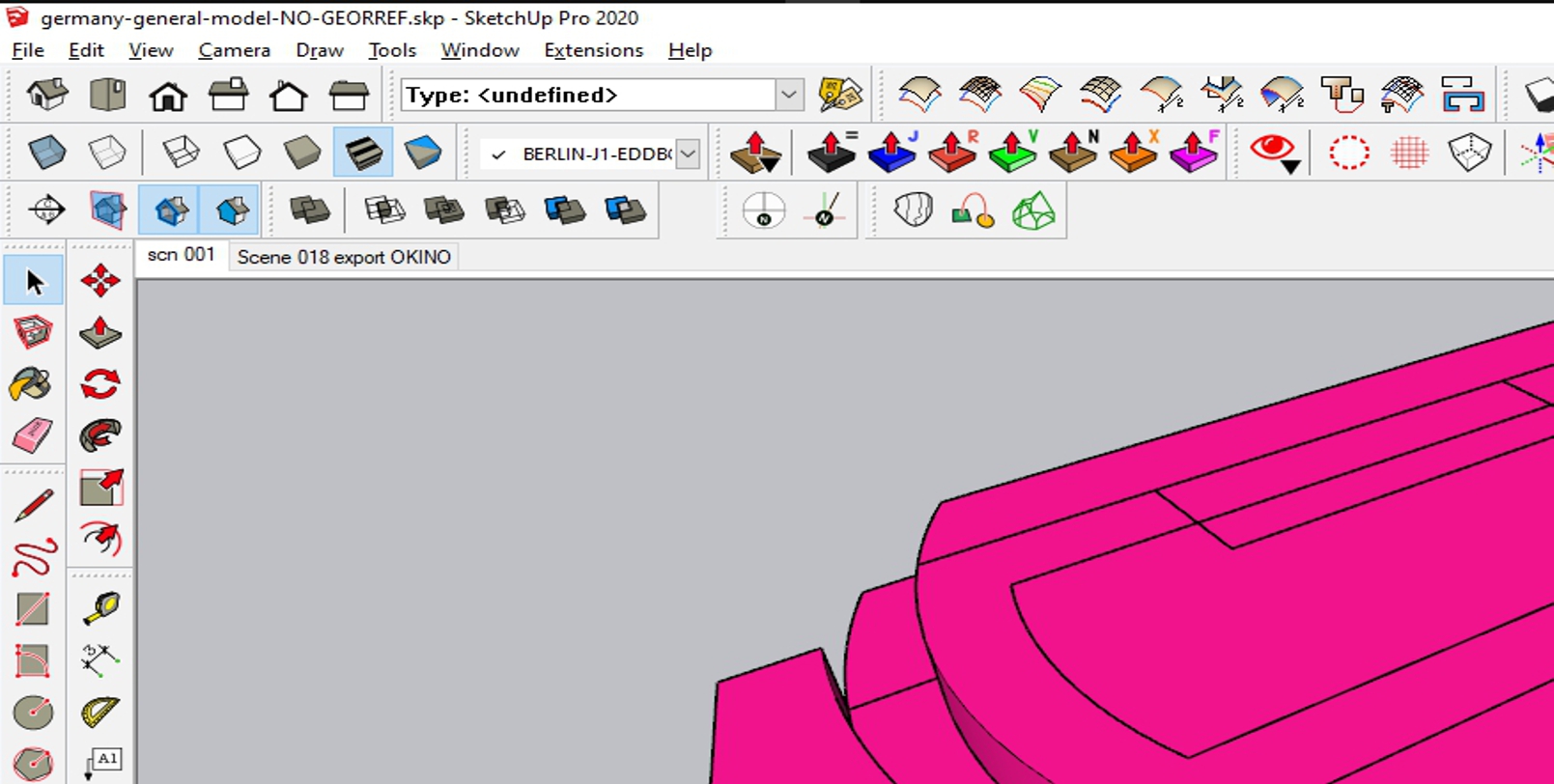
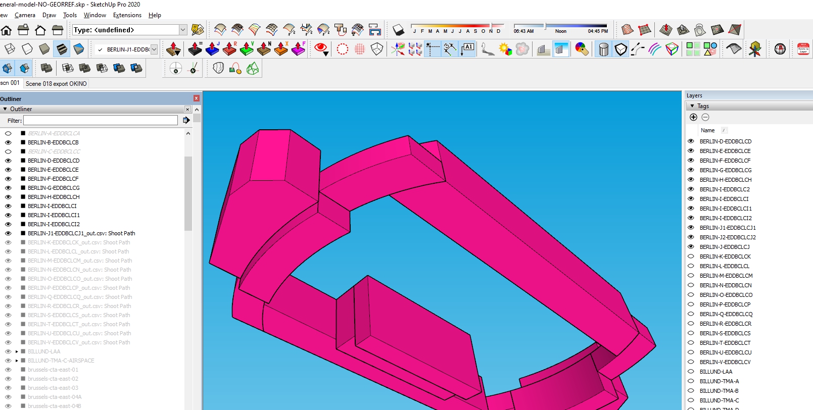
We add the customer’s specifications (lights, sections, transparencies, dimensions, scenes, etc.) and the model is ready to be delivered.
2. Animations
It is a major addition to the paper documentation. The ambiguity of the abstract figures and written descriptions no longer exists, as the operator actually “sees” what the paper describes.
See some examples below:
Series: Understanding controlled airspace.
Understanding controlled airspace? LECM. – YouTube
Understanding controlled airspace? TMA AQUITAINE – YouTube
Understanding controlled airspace? London TMA – YouTube
Understanding controlled airspace? Denmark & Sweden Airspaces – YouTube
Series: Online training.
Online training: From paper based documentation: the evolution. – YouTube
Series: Military Airspaces & Exercises.
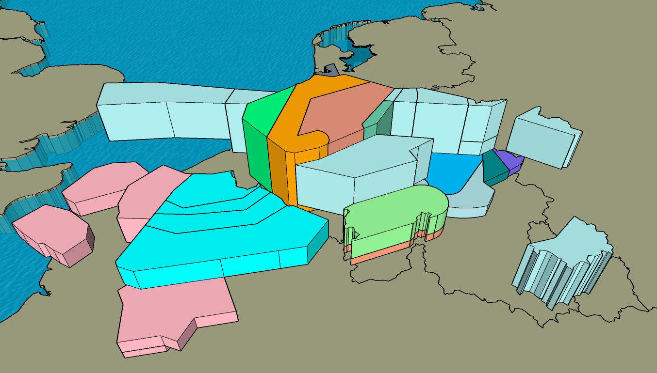
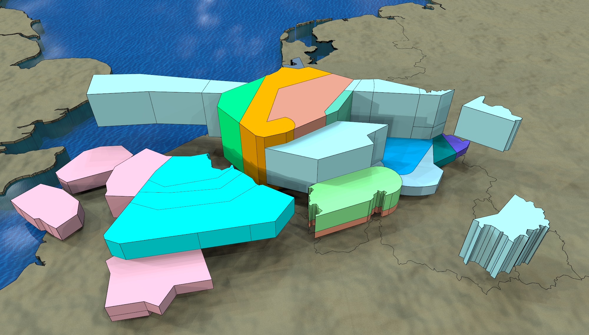
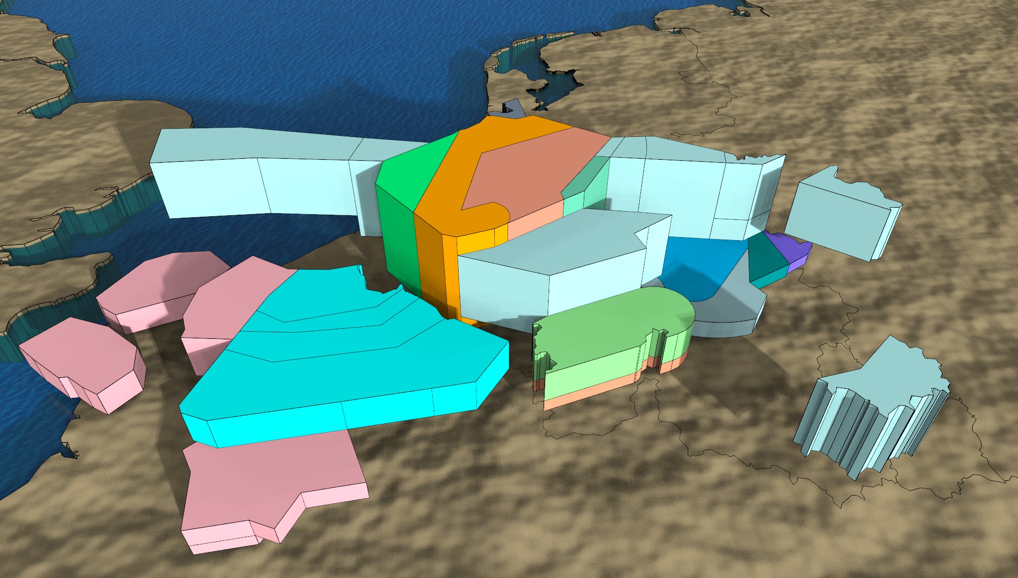
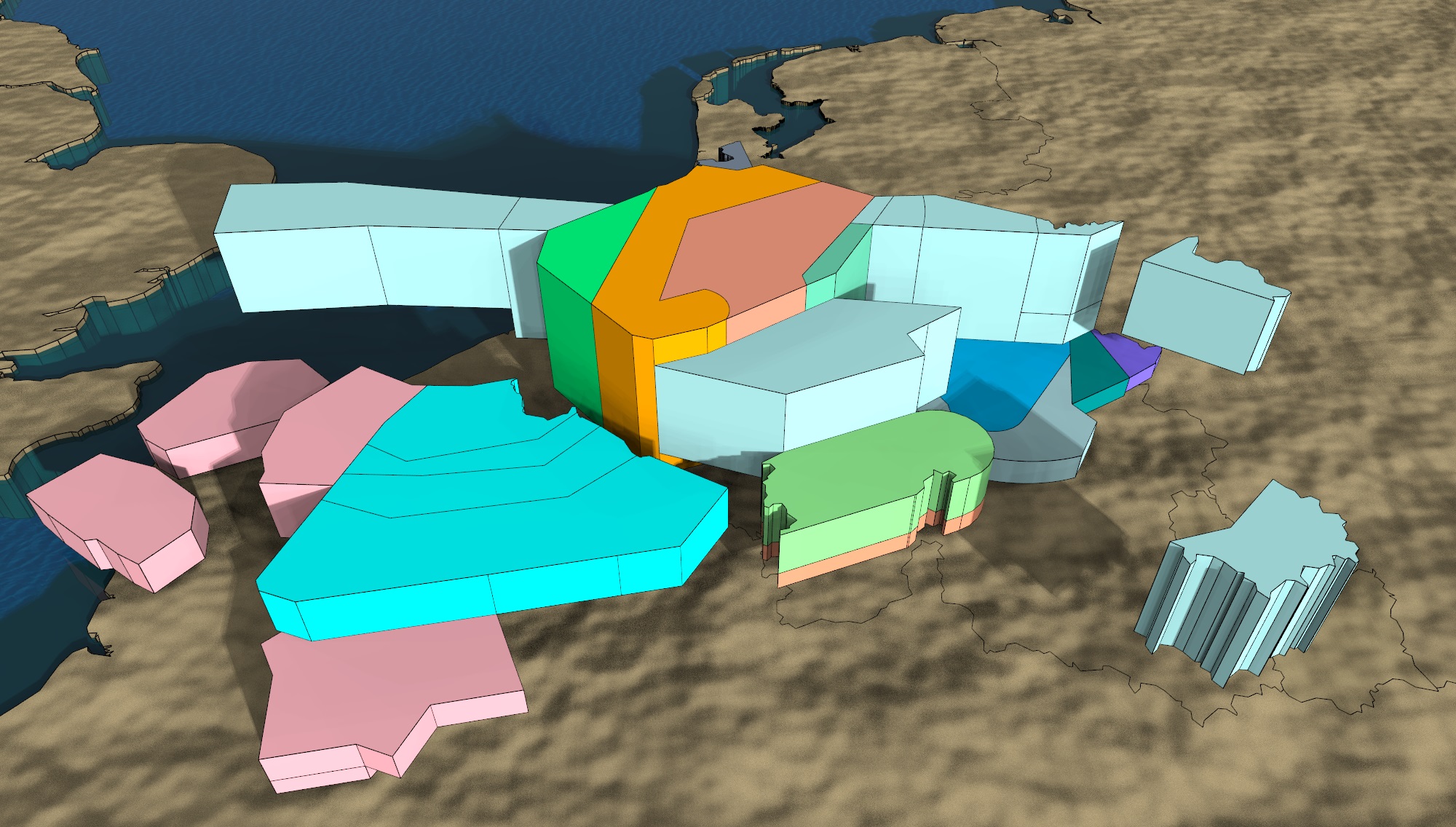
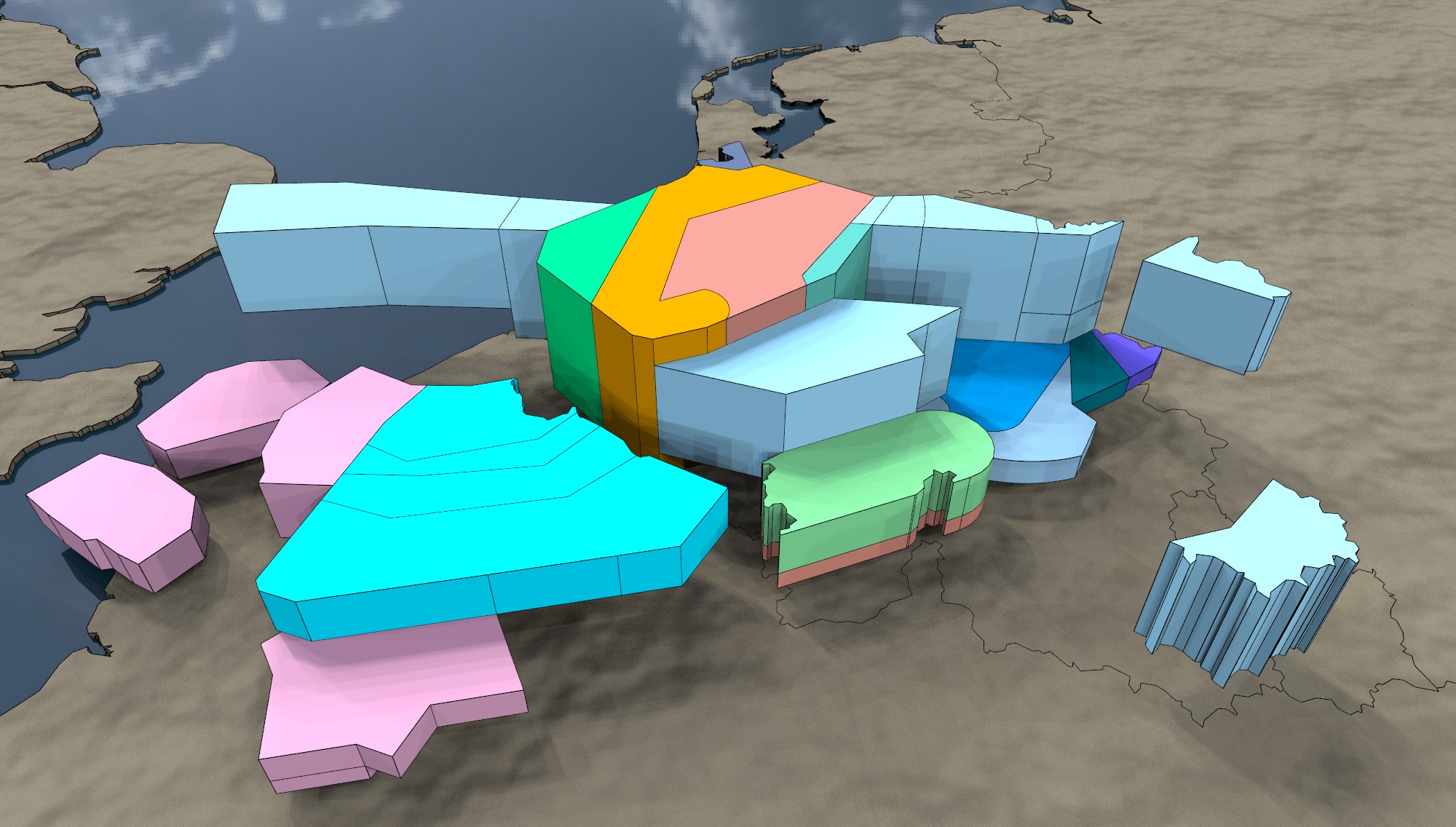
3. Rendered Images
Once we have the user’s required settings, high resolution images are perfect to illustrate and understand an ops room configuration, sectors relationships, flight paths, manuals, etc.
Click on any of the five standard options available for the same scene. Compare resolutions on full screen.
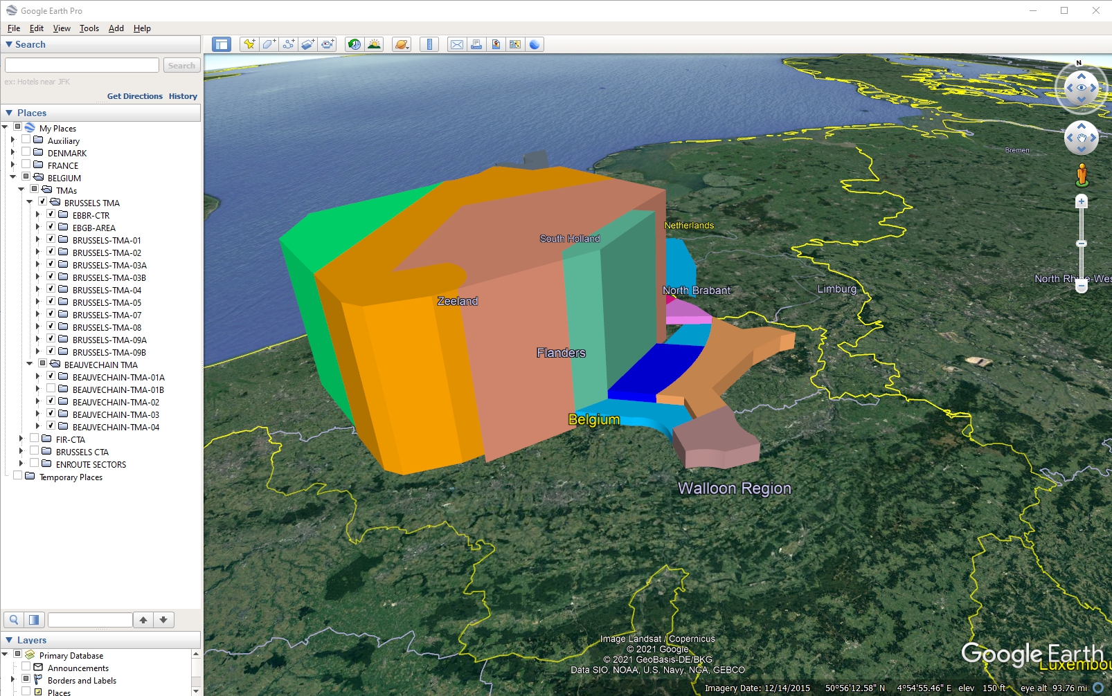
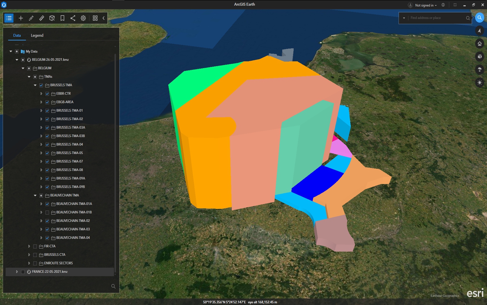
4. KMZ files
Depending on the selected settings, KMZ files can be hierarchized to meet the user’s needs.
Please find below two examples of Google Earth and ArcGIS Earth handling the same KMZ file about Belgian Airspaces.
5. 3D Documentation and Manuals
From the initial data mining and formatting, we have travelled through base models, simple and complex animations, still rendered images, KMZ interactive models and finally, a distributable, light-weighted, user-friendly document which allows the user to have a comprehensive view of the airspaces involved in the operation at hand.
Understanding runway changes due to wind or any other reason, both in the cockpit or in the ops room or refreshing skills and knowledge for ground teams of any service, a 3D PDF document is always handy and can be updated in real time.
Please see our download page for some examples.